| Mulher |
| At a Glance |
| Trek |
Mulher |
| Alias |
Mayurgad |
| Type |
Hill Fort |
| District |
Nashik |
| Height above mean sea level |
4284 ft (1286 m) |
| Base Village |
Mulher |
| Minimum Duration |
2 Days |
| Region |
Nashik |
| Transport |
Kalyan to Nashik (road/rail, ~ 130 km) - Satana (road, 73 km) - Taharabad (road, 23 km) - Mulher (road, 10 km)
|
| Time to reach the top |
About 3 hrs from Mulher |
| Water Availability |
Water cisterns are available midway (Moti tank) as well as on the top |
| Best season to visit |
Any time |
| Sights to visit |
Ganesh mandir, Somanath mandir, Ram mandir, Ganesh tank, Moti tank, Darwaja, Nav - taki (nine water cisterns) |
| Difficulty Rating |
Simple |
| Shelter |
Caves at the top |
|
| Location |
|
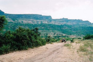 This fort lies in the Dholbari range and surely is unusual in regards to its construction. This fort lies in the Dholbari range and surely is unusual in regards to its construction.
Abundant water, nice temples, good caves to stay and panoramic view from the top makes this a wonderful trek.
|
|
| |
| Precaution |
 No special precaution is needed. |
|
| |
| Sight Seeing |
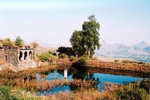
- Having climbed for an hour from the base, one espies ancient Ganesh temple with a clean water tank in front of it. This spot is called as Ganesh machi.
- Further 20 min walk will take you to Moti tank with crystal clear water beneath a fluorescent algae layer.
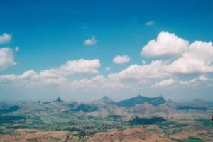
- From the top one can see Salher, Salota, Takara on South-West, Nhavi, Tambolya, Mangi, Tungi on the north, Dhodap, Saptashringi etc on the eastern side.
|
| |
| |
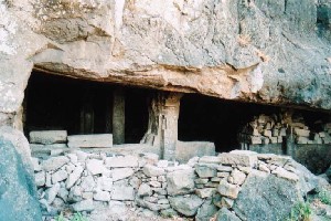 Caves on Mulher Caves on Mulher |
| |
| |
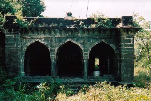 Ancient Monuments on Mulher Ancient Monuments on Mulher |
| |
| |
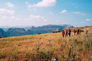 View from Mulher View from Mulher |
| |
| Note |
| All references regarding duration of trek and
transport are given with respect to Kalyan, which is about 50 km north-east of Mumbai. |
| Contact |
| cdeepan@gmail.com Deepan Ashok Choudhary |
| abhijit.avalaskar@gmail.com Abhijit Ulhas Avalaskar |
| Last updated on : 1st Dec 2005 |


 Caves on Mulher
 Ancient Monuments on Mulher
 View from Mulher
 This fort lies in the Dholbari range and surely is unusual in regards to its construction.