| Ahivantgad
|
| At a Glance |
| Trek |
Ahivantgad |
| Alias |
- |
| Type |
Hill Fort |
| District |
Nashik |
| Height above mean sea
level |
4030 ft (1230 m) |
| Base
Village |
Daregoan |
| Minimum
Duration |
2 days |
| Region |
Satmala |
| Transport |
Kalyan to Nashik (road/rail, ~
130 km)- Daregaon (road, 40 km) |
| Time to
reach the top |
About 2
hrs from Daregoan |
| Water
Availability |
Potable water isn't available on the top (at least in winter and summer) |
| Best
season to visit |
November to
February |
| Sights to
visit |
A lake, Hanuman idol, Cave at the edge,
few dry water cisterns
on the pinnacle attached to the main fort |
| Difficulty Rating |
Simple |
| Shelter |
Cave | |
| Location |
|
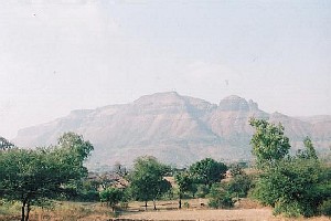
 On
the north of Saptashringi and to the west of Dhodap fort, is
situated this fort with a big plateau. Not very frequently
visited by trekker's, this fort has seen many battles in the
history.
|
| |
| Precaution |
 1. Locating a cave could be difficult on
a big plateau and hence it's advisable to hire a guide from base
village. 1. Locating a cave could be difficult on
a big plateau and hence it's advisable to hire a guide from base
village.
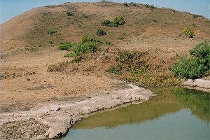
2. Potable water isn't available at the
top, at least in the summer and winter. Lake seen in the snap, doesn't hold potable water. Hence carry
ample water from base village itself.
|
| |
| Sight Seeing |

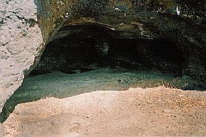
1. Though the top doesn't
have too many remnants, a cave at the edge is wonderfully situated. A stay in such a cave should be a great
experiance.
2. Saptashringi temple hill is very
close to Ahivant fort. Fort Achala also is close to it. |
| |
| Note |
| All references regarding duration
of trek and transport are given with respect to Kalyan, which is
about 50 km north-east of Mumbai. |
| Contact |
| cdeepan@gmail.com Deepan Ashok Choudhary |
| abhijit.avalaskar@gmail.com Abhijit Ulhas Avalaskar |
| Last updated on : 1st Dec 2005 |


 1. Locating a cave could be difficult on
a big plateau and hence it's advisable to hire a guide from base
village.

 On
the north of Saptashringi and to the west of Dhodap fort, is
situated this fort with a big plateau. Not very frequently
visited by trekker's, this fort has seen many battles in the
history.