| Bhivgad |
| At a Glance |
| Trek |
Bhivgad |
| Alias |
- |
| Type |
Hill Fort |
| District |
Raigad |
| Height above mean sea level |
~ 803 ft (245 mt) |
| Base Village |
Vadap |
| Minimum Duration |
1 day |
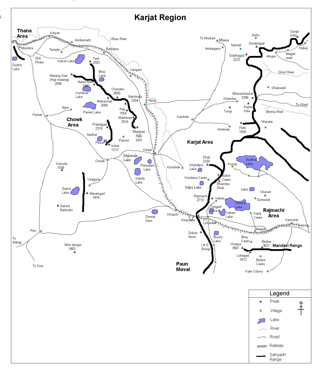
| Region |
Karjat |
| Transport |
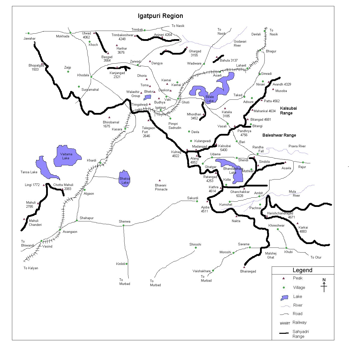
Kalyan to Karjat - Vadap (~ 7 km)
|
| Time to reach the top |
About 40 min from Vadap |
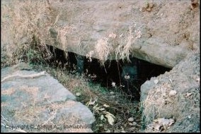
| Water Availability |
Water cisterns are there but water isn't
potable |
| Best season to visit |
Anytime |
| Sights to visit |
Water cisterns, few remants |
| Difficulty Rating |
Simple
|
| Shelter |
No proper shelter at the top, however one
may take a shelter in the base village. |
|
| Location |
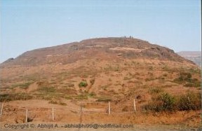 This is
a very small fort in juxtapose of Dhak-Bahiri. One has to reach Vadap village which is situated
~ 7 km north east of Karjat. This is
a very small fort in juxtapose of Dhak-Bahiri. One has to reach Vadap village which is situated
~ 7 km north east of Karjat. |
| |
| Precaution |
|
No special precaution is needed
|
| Sight Seeing |
 There isn't much known about this small
fort. A small top, couple of water cisterns, a remnant is all that
this fort offers us at the top. However, easy walk and small height,
nice view of ranges around makes this a nice, little trek.
There isn't much known about this small
fort. A small top, couple of water cisterns, a remnant is all that
this fort offers us at the top. However, easy walk and small height,
nice view of ranges around makes this a nice, little trek. |
| |
| Note |
| All
references regarding duration of trek and transport are given with respect to Kalyan, which
is about 50 km north-east of Mumbai. |
| Contact |
| cdeepan@gmail.com Deepan Ashok Choudhary |
| abhijit.avalaskar@gmail.com Abhijit Ulhas Avalaskar |
| Last updated on : 1st Dec 2005 |

